Weaving Indigenous and Local Knowledge with Geographic Information Systems in Ecosystem Assessment
Understanding the cultural landscapes of Indigenous Peoples goes beyond drawing lines on a map – it’s about capturing their deep connection with their natural surroundings, ancient wisdom and living traditions that have shaped their sacred places for millennia.

In Thailand, UNEP-WCMC's National Ecosystem Assessment Initiative as part of the Biodiversity and Ecosystem Services Network (BES-Net), is working with local communities and the Geo-Informatics and Space Technology Development Agency (GISTDA) to bring together Geographic Information Systems (GIS) and Indigenous and local knowledge (ILK). Thailand’s ethnic and local communities have a long-standing understanding of country’s marine and coastal ecosystems. However, their knowledge is not always captured in a manner that can be used to support environmental policymaking in the country. The Thailand National Ecosystem Assessment will help in addressing this barrier by weaving ILK with GIS. The assessment will include maps that reflect their own perspectives, created together with local communities, with the freedom to show significance of a place, and what it means to them.


This effort highlights the fusion of ILK with modern technology, empowering Indigenous Peoples to map their lands, address environmental challenges, and contributes to improving sustainable management of natural resources in Thailand, for both people and nature. This approach has also brought scientists and local conservators together to learn about each other’s perspectives, helping to facilitate cooperation between them to preserve Thailand’s marine and coastal ecosystems. Furthermore, these synergies provide a framework to document and store Indigenous knowledge in manner that is accessible to policymakers.

As part of Thailand's National Ecosystem Assessment process, a training session was facilitated by the assessment team to integrate Indigenous and local knowledge (ILK) with Geographic Information Systems (GIS) for sustainable resource use and conservation. The training took place in Ao Kung, a small fishing community in Phuket Province, from 26 to 28 April 2025. It was attended by 30 participants, including lead authors and ILK authors from the Thailand National Ecosystem Assessment, staff from GISTDA, local knowledge holders, researchers from Phuket Rajabhat University, and other members from the Thailand National Ecosystem Assessment network.
Reflecting on the outcomes of the training, community mangrove conservation leader Pradit Puangket stated, “Natural resources are important for our community, but what’s more crucial is the human resources that manage those natural resources. The participants of this training have learned how to link our ILK with GIS mapping, and hopefully, this mapping will be useful for developing conservation policies that support us as custodians of the sea.”
"...this mapping will be useful for developing conservation policies that support us as custodians of the sea"

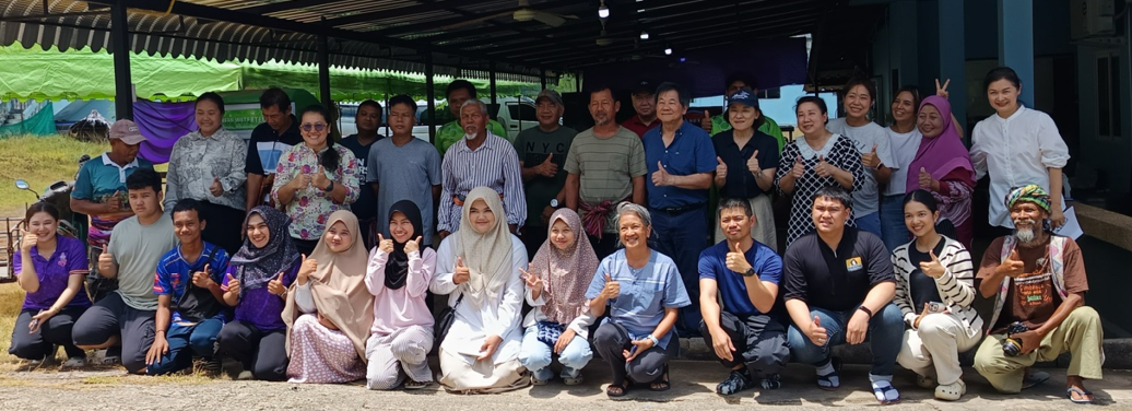
Participants of the training event pose for a group picture. Photo by Somporn Tarunram
Participants of the training event pose for a group picture. Photo by Somporn Tarunram
The training focused on connecting ILK with GIS to enhance the capacity of the community and local researchers to collect relevant data, monitor and assess changes, and input data into visual geographical platforms such as the Marine Geographic Information (GI) Portal. The Marine GI Portal is a database created by GISTDA that focuses on marine, coastal, and island-related issues. This portal will facilitate the creation of maps that display points and resources from the community's perspective, incorporating local terminology such as toponyms (place names) and classification systems.
A key new feature planned for the Marine GI Portal is the integration of coastal community knowledge maps in recognition of the immense wealth of knowledge that local people have regarding marine and coastal resources.
The maps and data generated from this training will be integrated into the Thailand National Ecosystem Assessment, contributing to a more comprehensive analysis of various knowledge systems within the assessment.
Thailand is currently in the expert evaluation phase of the assessment and is expected to finalize the first drafts of the technical report by December 2025. In parallel, the assessment team has broadened its network of national stakeholders to include GISTDA. This collaboration aims to integrate assessment data into GISTDA’s marine spatial planning platform.
Connecting ILK with GIS

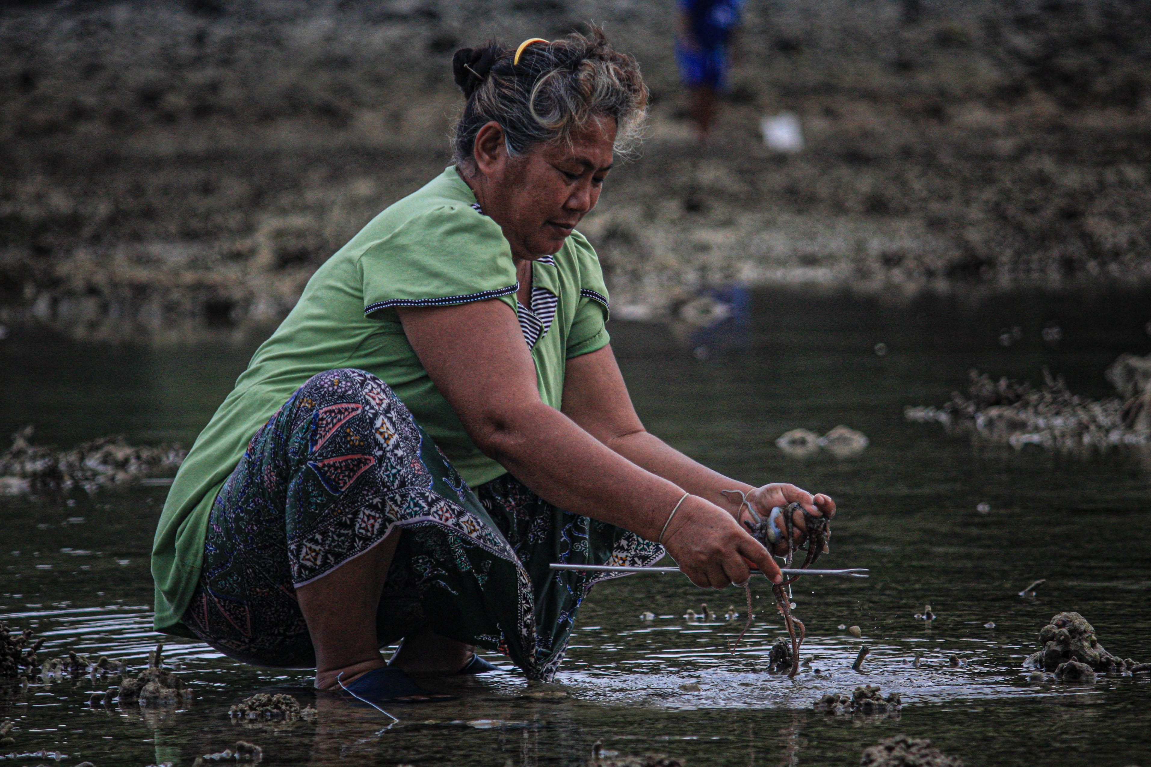
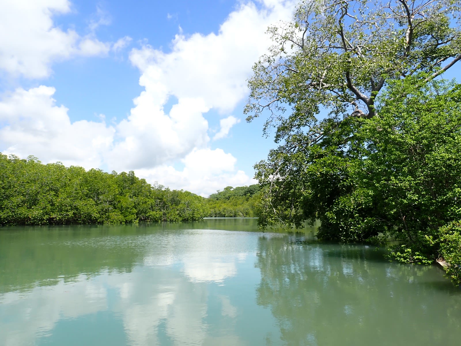
The training began with an introduction to GIS systems and the Marine GI Portal. Participants were then divided into groups to collect empirical (first-hand) data on essential ecosystems and resources, as well as cultural information related to toponyms and sustainable fishing practices. This exercise provided valuable insights. While marine scientists typically categorize ecosystems into broad groups such as coral reefs, seagrass beds, mangrove forests, and estuaries, the Ao Kung community participants concentrated on smaller ecological niches. These included a network of canals within the mangrove forest, intertidal sandbars, underwater rocks, and red sea fan communities, all of which were identified as critical habitats for fish and other marine species essential to their livelihoods. The community is committed to protecting these habitats. As Pradit Puangket stated, “We believe in natural ecosystems. We trust that they are the ultimate, and whatever change we make, even if it involves planting trees or reforesting, it cannot replicate real nature. Therefore, we should conserve whatever nature we have now.”
While marine scientists typically categorize ecosystems into broad groups such as coral reefs, seagrass beds, mangrove forests, and estuaries, the Ao Kung community participants concentrated on smaller ecological niches. These included a network of canals within the mangrove forest, intertidal sandbars, underwater rocks, and red sea fan communities, all of which were identified as critical habitats for fish and other marine species essential to their livelihoods.
The community is committed to protecting these habitats. As Pradit Puangket stated, “We believe in natural ecosystems. We trust that they are the ultimate, and whatever change we make, even if it involves planting trees or reforesting, it cannot replicate real nature. Therefore, we should conserve whatever nature we have now.”
The Ao Kung community was selected because of its strong commitment to conservation and its ongoing efforts to pass down marine ILK to younger generations. A mini-trialogue, supported by UNEP-WCMC, UNDP, and UNESCO, was previously held there in January 2024. Additionally, an ILK participatory workshop in December 2023 produced ILK maps that demonstrated the community's extensive knowledge of the local coastal and island environment. This highly specific and localized knowledge is crucial for sustainable resource management and conservation, representing an intangible cultural heritage. Converting this knowledge into explicit data within GIS maps will help recognize and weave ILK into future marine and coastal planning initiatives.

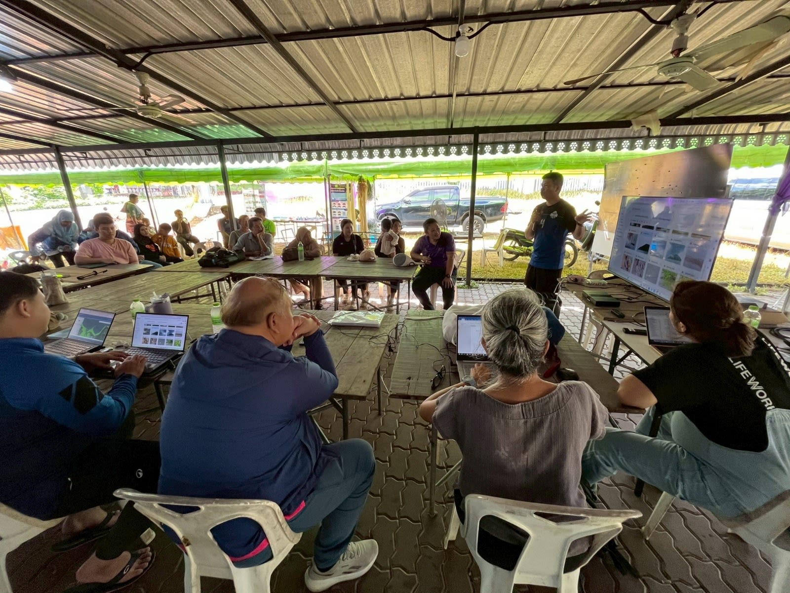
Image of Marine GI Portal introduced by GISTDA staff at Ao Kung community. Photo: Paladej Na Pombejra
Image of Marine GI Portal introduced by GISTDA staff at Ao Kung community. Photo: Paladej Na Pombejra
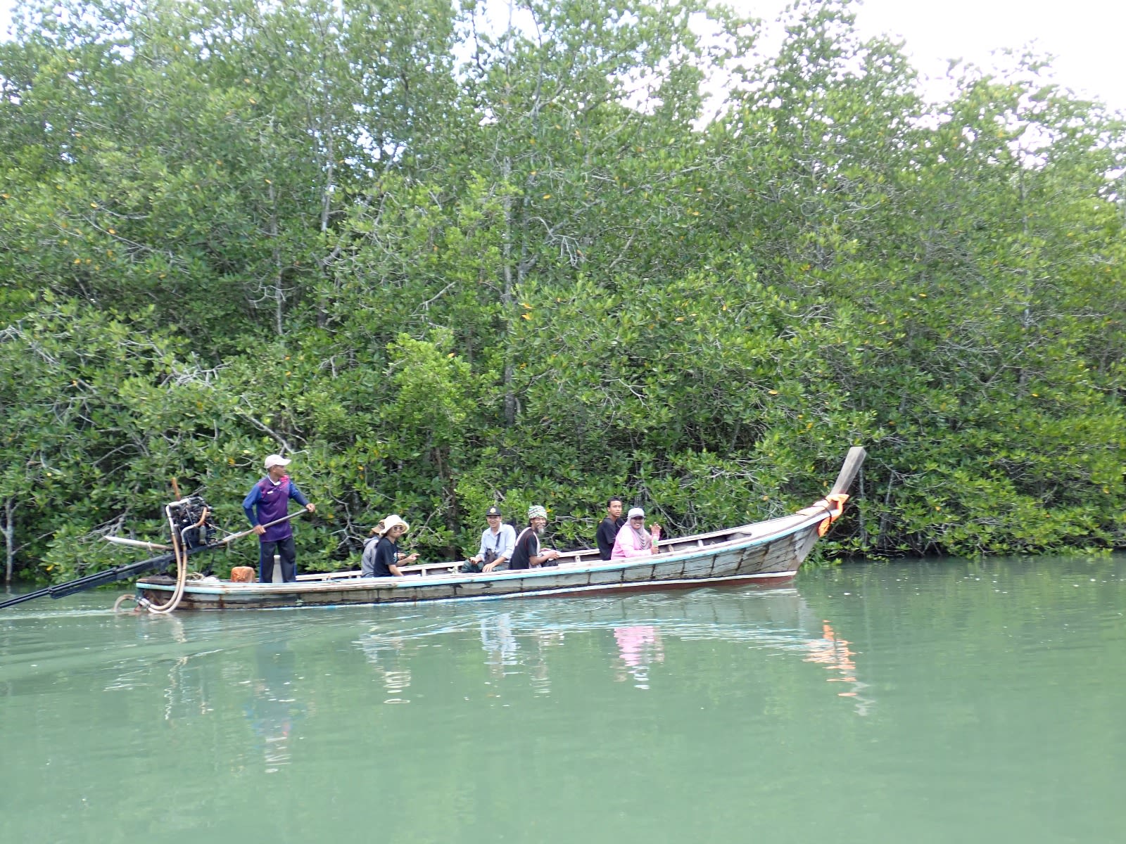
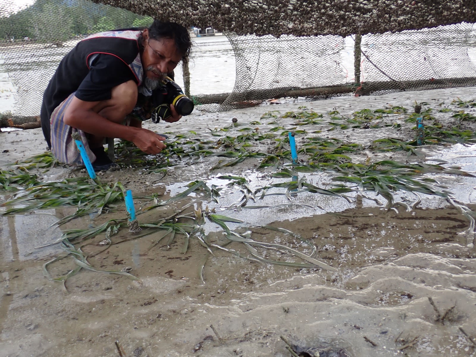
Field Activity in Tha La Community

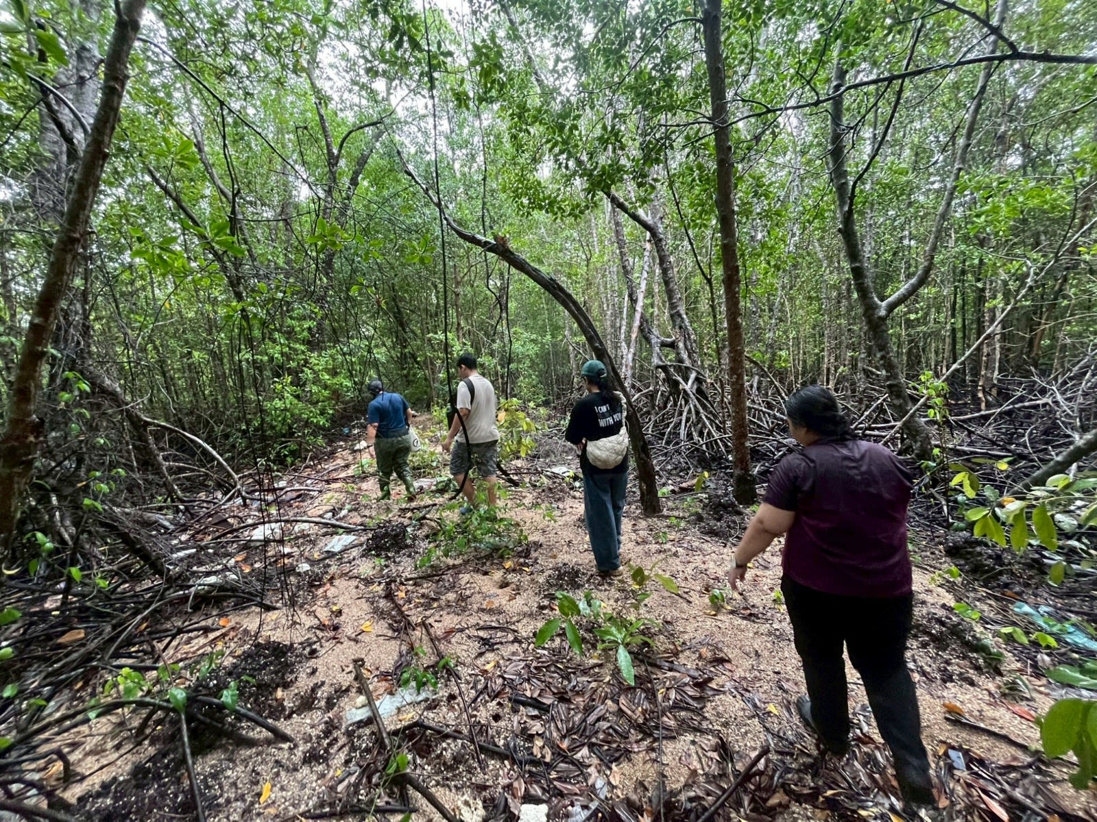
Participants surveying network of mangrove canal. Photo by Narumon Arunotai
Participants surveying network of mangrove canal. Photo by Narumon Arunotai
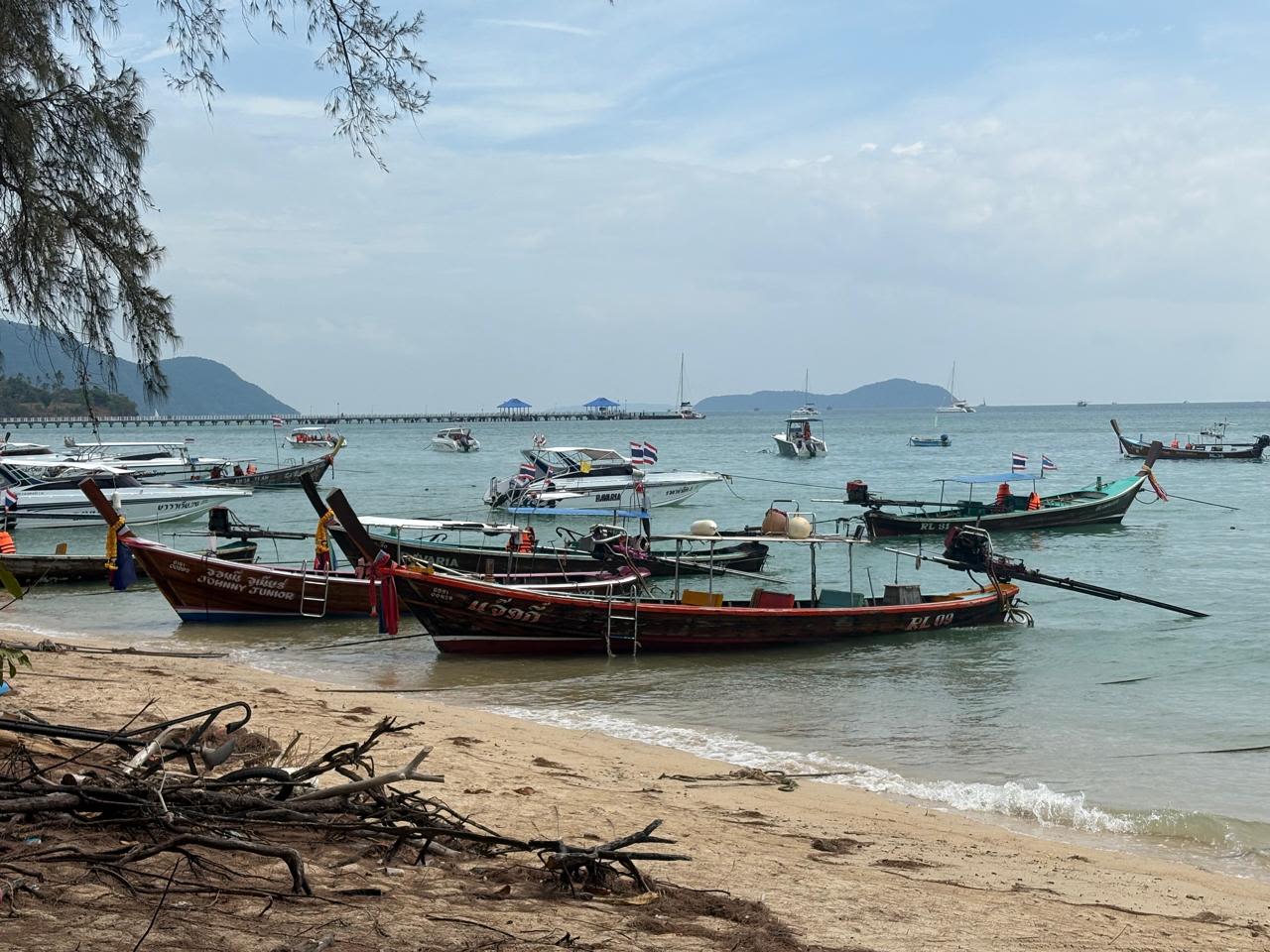
As part of the training, a field activity was organized, which included a visit to the nearby Tha La community. This community is experiencing significant degradation of its marine ecosystem, particularly the rapid disappearance of seagrass beds. Jurun Rachaphol, a local community member, expressed his deep concerns about this change, stating, “In my 75 years of life, I have seen this bay covered with seagrass beds. I cast my fishnet and trap shrimp here. I believe the seeds of seagrasses come from this area. If the seagrasses disappear, our community will surely face a food crisis, as seagrasses are home to fish and other sea animals.”
In response to this issue, local universities, educational institutions, and volunteer groups have launched collaborative efforts to experiment with seagrass protection cages. The results of this experiment are being closely monitored and evaluated through a multi-sectoral approach. The pressures of climate change are making the degradation of coastal resources increasingly evident, especially in rapidly developing provinces like Phuket.
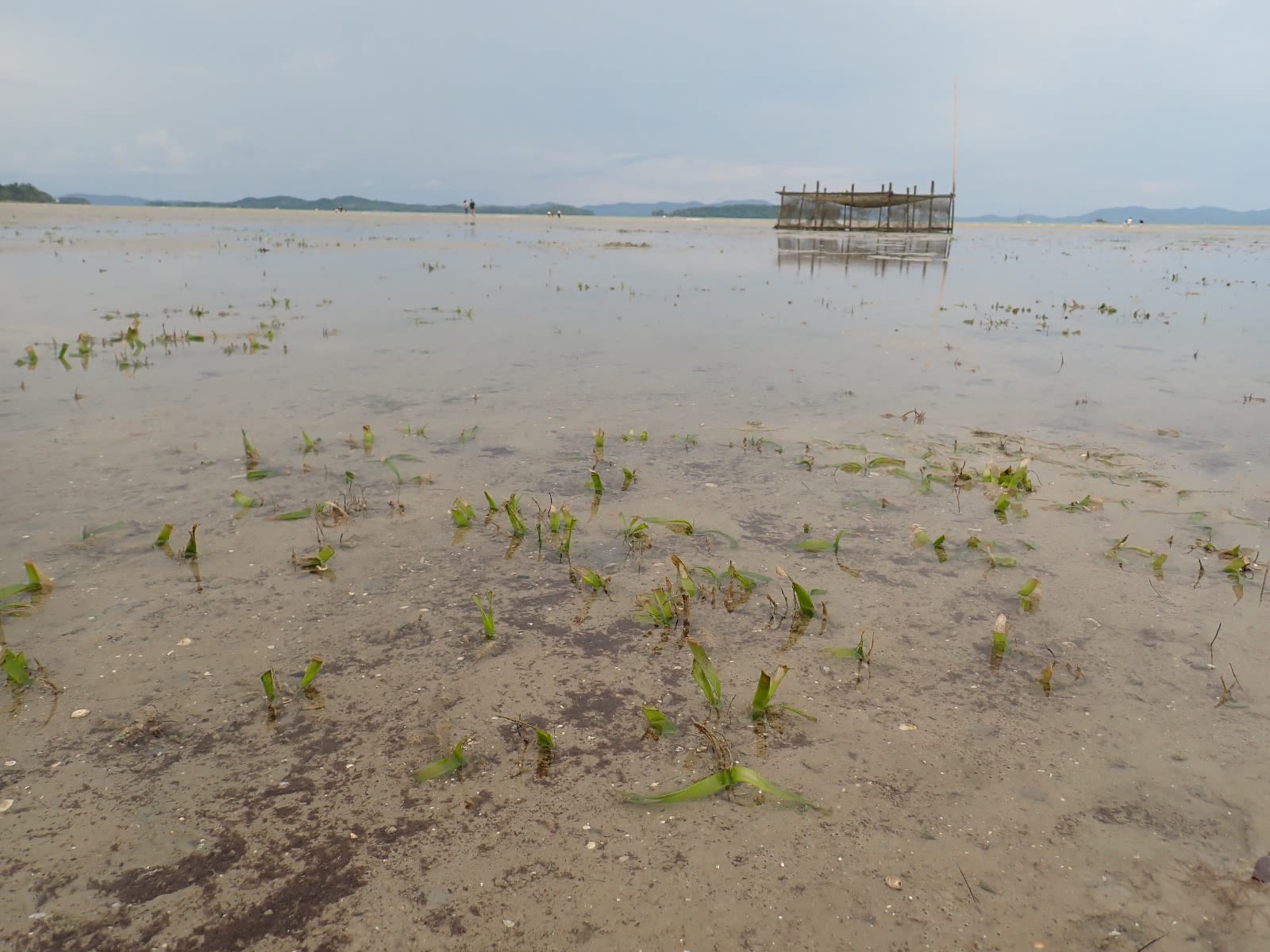
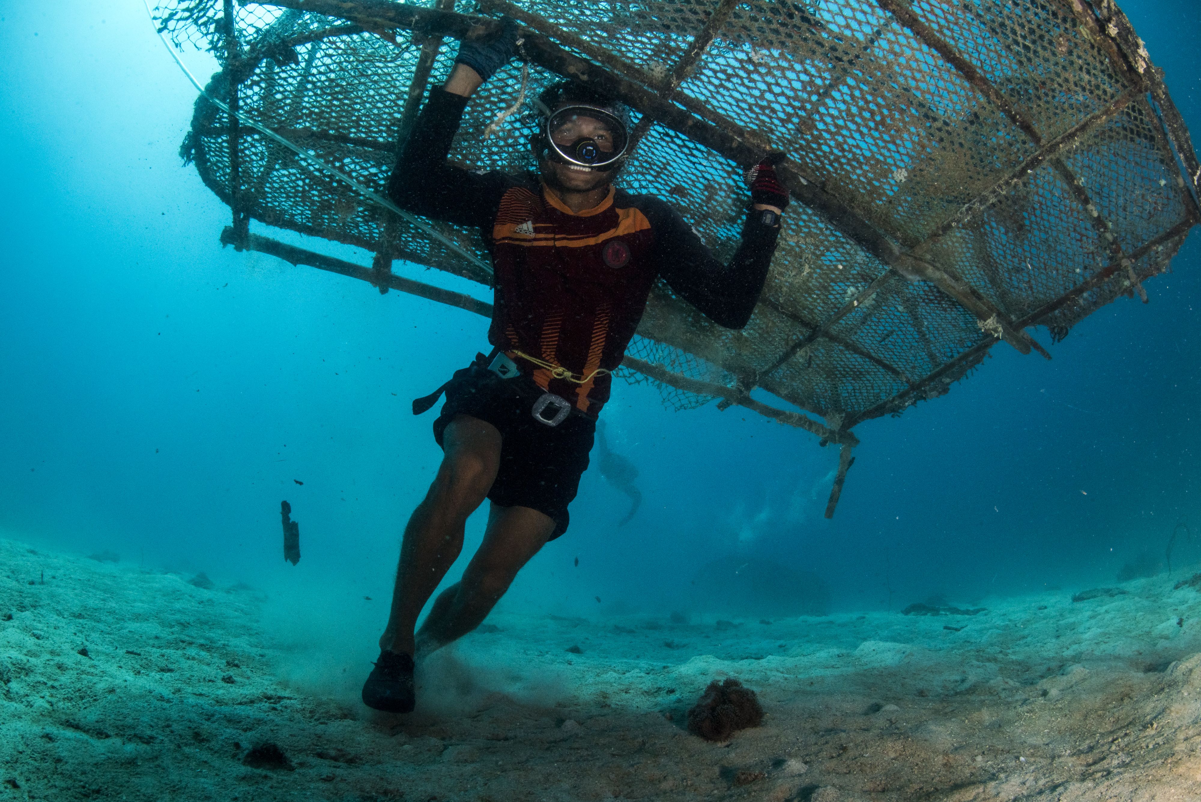
Images of seagrass cages at Tha La. Photo by Narumon Arunotai
Images of seagrass cages at Tha La. Photo by Narumon Arunotai
Learn more about the Thailand National Ecosystem Assessment from the scoping report available on the NEA Initiative website.

The National Ecosystem Assessment Initiative (NEA Initiative) at UNEP-WCMC is part of the Biodiversity and Ecosystem Services Network (BES-Net), working in partnership with UNDP and UNESCO. Financial support for the NEA Initiative is being provided by the International Climate Initiative (IKI) of the German Federal Ministry for the Environment, Climate Action, Nature Conservation and Nuclear Safety, the Norwegian Environmental Agency, the Japan Biodiversity Fund, and SwedBio.